
 Area Calculator
 Miami International Airport
Miami International Airport. Location on an interactive map and geographic coordinates.
Coordinates (latitude/longitude):
25.795056563118216-80.27715861797333
Location:
Miami Airport, Miami, FL 33126, USA
Loading map...
Miami Airport is one of the largest airports in the south of the United States. Airport provides the main air traffic between the US and Latin America.
Miami Airport is located is 8 miles from downtown Miami.
Miami Airport is located is 8 miles from downtown Miami.
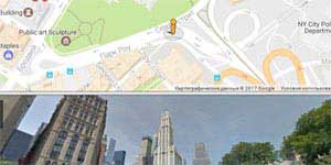 Map and Street View
  How the satellite maps are made
 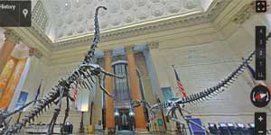 American Museum of Natural History
 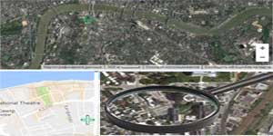 'Magnifying glass' for satellite images
 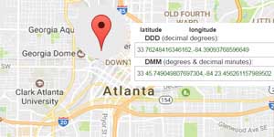 Determine the coordinates on the map
  The State Hermitage Museum
 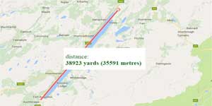 Google maps to determine the distance
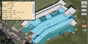 Area calculator tool by Google maps
 Determination of peaks' altitude above sea-level or both oceans' and seas' depth